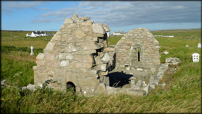
St Deirbhile's Church / Teampall Deirbhile 12th Century Romanesque Church, Fallmore St Deirbhile's church is beautifully situated at the southern end of the Mullet penisula and offers stunning views across the Atlantic ocean to the Achill and Inishkea Islands, the latter being the main reason for our trip to the peninsula. At first glance this quaint church looks much older than it actually is, from a distance it has the appearance of a 9th/10th century pre-norman church, but on closer inspection it turns out to be a really interesting 12th century Romanesque church. The east and west gables are almost full height, but the north and south walls are quite low. At some stage the church must have been widened , you can see in the image below the line of the original apex sloping down to the right. The doorway is now off-centre, as it was centered in the original gable wall. I believe the church was also extended to the east and most of that gable was reconstructed, because the round-headed window is centered in the new east gable width, again see image below, also the stones in the west gable are more cyclopean in appearance. There is an aumbry present in the east gable, located to the left of the window.
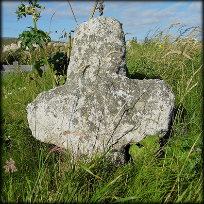
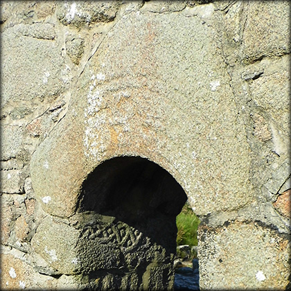
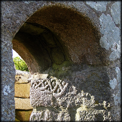
The northside of the doorway is decorated internally with interlace carving, typical of the romanesque period. The arch-stone above the doorway is decorated with barely visible concentric grooves. I read recently that in good lighting a carved panel can be spotted at the top of the stone, just above the grooves. This is not visible in our images as the sun is shining full on the west face of the doorway. Harbison suggested the panel may bear a stylised version of a bronze crucifixion plaque. Dotted around the church are a number of stone crosses. |
|
 |
 |
 |
|
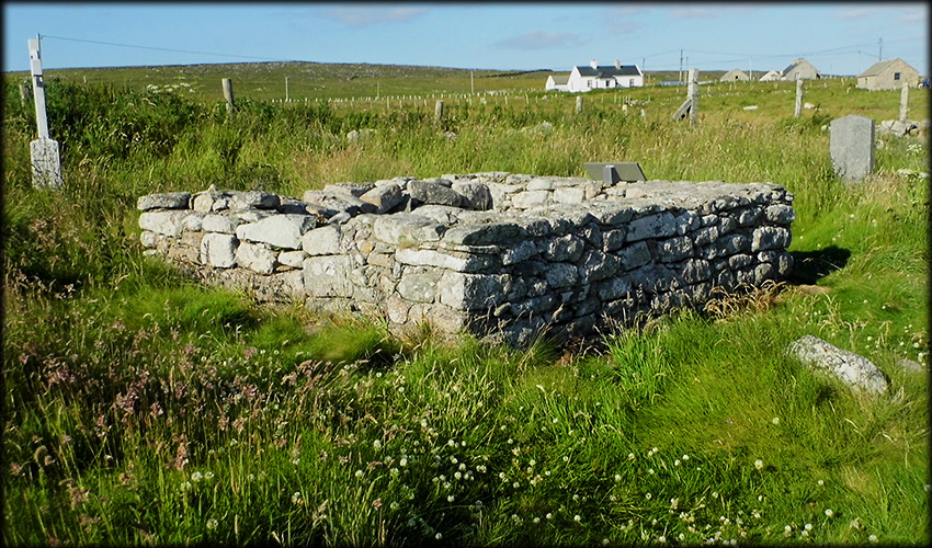
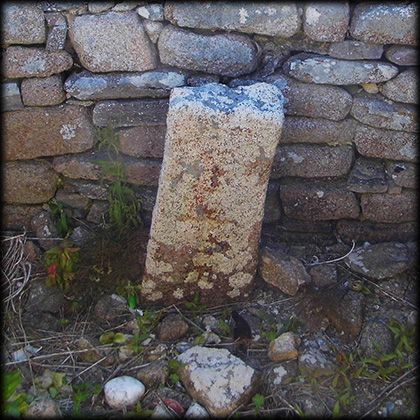
St Deirbhile's Grave Traditionally it is believed a small stone enclosure, on the north-east side of the church, mark's the spot of St Deirbhile's grave. Standing within the enclosure is a stone slab about 0.75 metres high. Incised on the slab is a, barely visible, latin cross with T-shaped terminals. About 350 metres north-West of the Church is a holy well also dedicated to St Deirbhile.
|
|
|
Situated: From Belmullet head south on the R313 for about 17 kilometres. Then turn right onto the L5231, 200 metres turn left, 750 metres turn right. 1.8 kilometres turn sharp right. Go 280 metres the church is in the old graveyard on your right. Discovery Map 22: F 6222 1838. Last visit Apr 2019. Longitude: 10° 06' 25.3" W Latitude: 54° 05' 46.4" N Photo: José Gutiérrez. |
 |
Ref: Harbison, Peter. “A Crucifixion Plaque in Stone?” Archaeology Ireland, vol. 9, no. 2, 1995, pp. 11–12. JSTOR, http://www.jstor.org/stable/20562190. |
|